 Scoop has an Ethical Paywall


Following the snow, weather to remain unsettled this week
5 August 2019
MetService is forecasting an unsettled week of weather, with temperatures likely to return to normal for this time of year, following the snowy weekend.
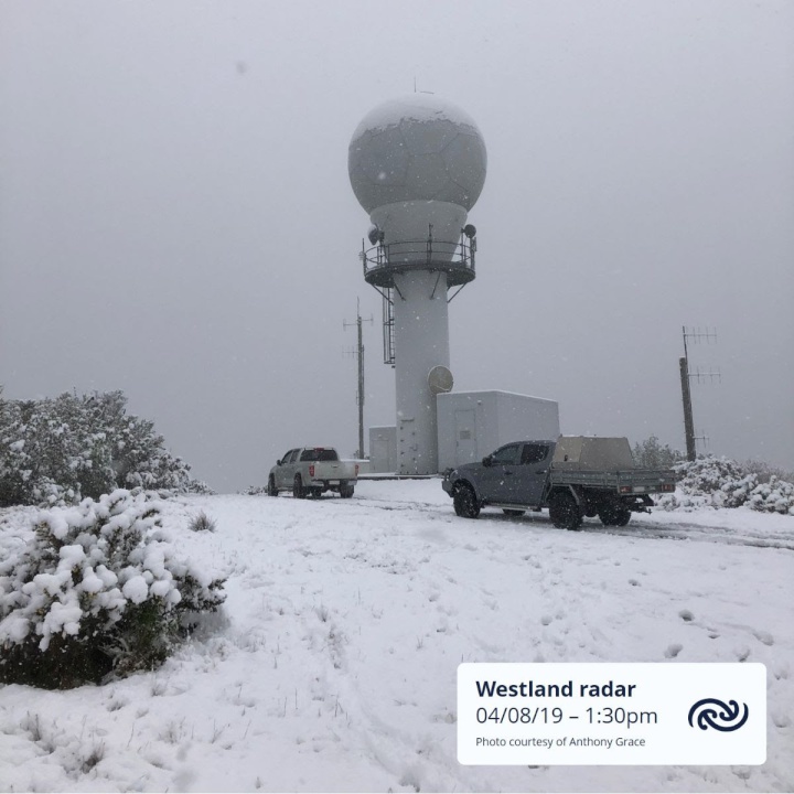
A blanket of snow has fallen to low-levels over southern New Zealand this weekend, and snow fell to sea-level in Southland and Fiordland up the West Coast as far north as Westport. Snow also fell to quite low-levels over central New Zealand, with reports of snow coming in from as far north as the Kaimai Range. Many high roads have been affected by snow, and most ski-fields received a long overdue dumping.
Strong winds have also featured in places exposed to southwesterlies. MetService Meteorologist Peter Little comments, “On Friday, Secretary Island in Fiordland recorded a gust of 161 km/h, while winds in Foveaux Strait and about coastal Otago gusted between 130 and 140 km/h”.
Although the weather is now in an easing phase as a weak ridge of high pressure starts to build over the country from the Tasman Sea, Heavy Snow Warnings and Watches plus Road Snowfall Warnings remain in force for some parts until late this afternoon. Click here for the latest Severe Weather information.
The forecast this week is for the weather to remain unsettled, with a northwest flow bringing weather systems across the country from the Tasman Sea. However, the ridge remains in place on Tuesday, meaning frosts are likely in sheltered places first thing. Eastern areas can look forward to a fine winter’s day, but cloudy periods and a few showers remain in the west of both islands.
“With the winds turning from the south towards the northwest, temperatures return to normal across the country by the middle of the week”, explains Little.
From Wednesday to Friday, troughs of low pressure embedded in the northwest flow, cross the country from the Tasman Sea. These troughs will bring periods of rain to northern and western parts of the country, which could be heavy in places. Meanwhile eastern areas remain mostly dry, and daytime temperatures in the east of the North Island can be expected to climb into the high teens.
Understanding our Severe Weather Watches and Warnings
Outlooks are about
looking ahead:
• To provide advanced information on
possible future Watches and/or Warnings
• Issued
routinely once or twice a day
• Recommendation:
Plan
Watches are about
being alert:
• When severe weather is possible, but not
sufficiently imminent or certain for a warning to be
issued
• Typically issued 1 - 3 days in advance of
potential severe weather.
• During a Watch:
Stay alert
Orange
Warnings are about taking action:
• When
severe weather is imminent or is occurring
• Typically
issued 1 - 3 days in advance of potential severe
weather
• In the event of an Orange Warning:
Take action
Red
Warnings are about taking immediate
action:
• When extremely severe weather is imminent or
is occurring
• Issued when an event is expected to be
among the worst that we get – it will have significant
impact and it is possible that a lot of people will be
affected
• In the event of a Red Warning: Act
now!
ends
 Commerce Commission: Systemic Breaches Of Consumer Law Lead To $1.5million Fine For Kiwibank
 SolarZero: SolarZero Limited (in Liquidation) - Important Business Update
 Science Media Centre: Cyclone Gabrielle's Impacts On NZ's Ecosystems - Expert Reaction
 RNZ: Parts Of Power System Could Be Out For 36 Hours In Event Of Extreme Solar Storm
 NZAS: New Zealand Association Of Scientists Awards Celebrate The Achievements Of Scientists And Our Science System
 Stats NZ: Retail Spending Flat In The September 2024 Quarter


