 Scoop has an Ethical Paywall


False Start to Spring
MetService News Release
30 August
2018
False Start to Spring
“The heavy rain over the northeast corner of New Zealand is set to continue today as a slow-moving front lingers, before slowly moving off to the east in the evening”, says MetService meteorologist Mark Bowe. “MetService has extended its Severe Weather Warning for heavy rain for this area until 10pmThursday evening.”
Friday will be another wet day for people over central and northern areas of the country. “Southerly winds will pick up for the capital and rain will be a factor for most of the day on Friday for Wellingtonians,” comments Bowe.
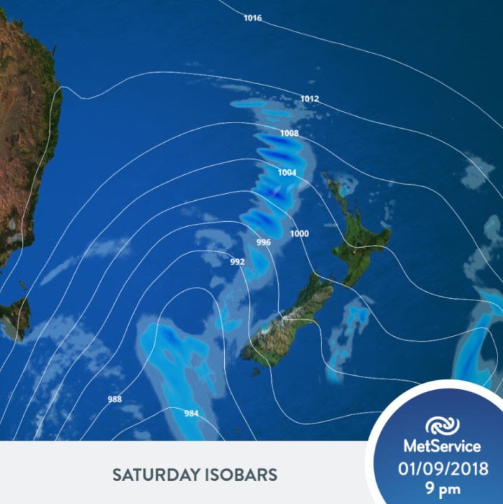
”Saturday will be the best day of the weekend,” Bowe adds “A brief ridge brings some relief to the wet and windy weather with much of the country enjoying fine spells in the northwest flow.”
Sunday will mark the arrival of the next active weather front which brings bands of rain to many western areas of the country by early morning. Winds will strengthen as the front moves over the country with most areas, especially along the west of the country experiencing some wet weather by the evening. On Sunday a low pressure system moves across the lower South Island bringing a cold southerly blast, rain and snow to 300m from Sunday evening.
The cold air is expected to continue to blanket the country moving into Monday. Snow fall is possible for some higher South Island areas by Monday morning and this could make driving conditions hazardous across the Alpine Passes and other high level roads. While Spring is just around the corner, it will be a cold start for those down south as we start the new week.
 Hugh Grant: How To Reduce Network Bottlenecks
 Dominion Road Business Association: Auckland Transport's 'Bus To The Mall' Campaign: A Misuse Of Public Funds And A Blow To Local Businesses
 Parrot Analytics: A Very Parrot Analytics Christmas, 2024 Edition
 Financial Markets Authority: Individual Pleads Guilty To Insider Trading Charges
 Great Journeys New Zealand: Travel Down Memory Lane With The Return Of The Southerner
 WorkSafe NZ: Overhead Power Lines Spark Safety Call


