A Calmer Week
MetService News Release
16 July
2018
A Calmer Week
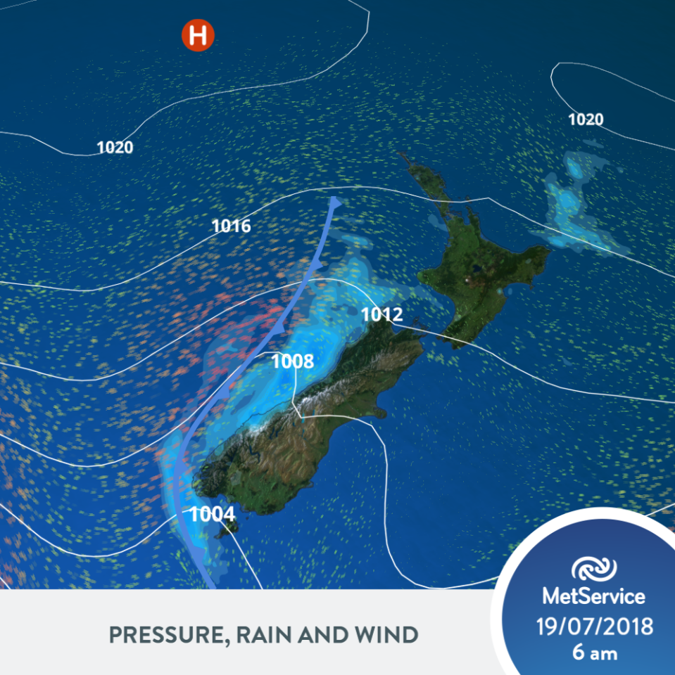
Following a weekend with significant weather, MetService is forecasting calmer weather this week. This will be most appreciated in northern areas that faced the brunt of the weather over the weekend and benefit from the benign weather as they assess the damage. A frontal system should however see some wet weather, especially in the west.

“A ridge of high-pressure extends across the North Island throughout the week,” says MetService Meteorologist Tui McInnes, “which subsides the weather, calming things down. The placement of the high does mean that the upper North Island will see the greatest improvement in the weather. This will be welcome to those in the areas that took the brunt of the weekend’s weather, allowing for a period of recovery.”
Despite the calmer conditions, a frontal system is set to move up New Zealand mid-week. This will help to persist wet conditions for western areas, with brief periods of rain or showers further east, as the front moves across.
MetService are also forecasting some significant swell periods for western and southern coasts for later in the week.
“A long swell period expected later this week produces faster moving swell, making for stronger waves which carry more water per wave,” McInnes explains, adding “the end outcome is that as the swell moves into the coast, this extra energy and water causes larger waves, great for surfing!”.
“It’s the second week of the school holidays and the weather is set to be cooperative across most of the country,” McInnes says, “so those off school and work can get out and about and enjoy the remainder of their holidays.”
It always pays to stay up to date with the latest weather information, which can be found at the MetService website.


 EDS: Oceans Symposium Highlights Need To Establish Independent Oceans Commission
 Antarctic Heritage Trust: NZ-made ‘Cutting-Edge’ VR Experience Tours The UK
 Brian Gaynor Business Journalism Initiative: Brian Gaynor Initiative Business Journalism Funding Award Moves To Rolling Applications
  Inland Revenue: Fifth Anniversary Of The SBC Loans - Time To Repay
 Te Runanga o Ngati Hinemanu: First Marae Based Fresh Water Testing Science Lab Grand Opening 16-17 May 2025
 Raise Communications: NZ Careers Expo Kicks Off National Tour Amid Record Unemployment