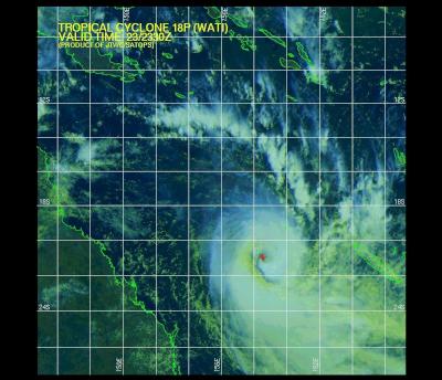
Click for big version
Multi-spectral Satellite Image of Cyclone Wati – source JTWC
Supercomputer Weather: Wati Weakens On NZ Approach
Report compiled by Alastair Thompson
USEFUL LINKS:
The latest NOAA GFS Supercomputer forecasts for Cyclone Wati show the remnants of cyclone weakening considerably in the Tasman Sea before making landfall north of Auckland on Monday night.
Click for big version
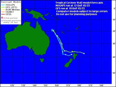
Computer Model Simulations Of Cyclone Wati's Path
The image above from the WeatherUnderground.com show that the US Navy's Nogaps model forecast is now close to agreement with the NOAA GFS forecast. Both show the remnants of the cyclone coming close to New Zealand's North Island.
At present considerable uncertainty remains over the extent to which these remnants will dissipate as the cyclone bumps up against a high forming in the southern Tasman Sea.
Click for big version
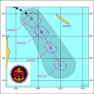
Joint Typhoon Warning Center Cyclone Wait Warning Graphic
The most recent Joint Typhoon Warning Center forecast - the graphic of which appears above - is forecasting the cyclone to rapidly weaken over the coming 24 hours. Maximum sustained winds at the end of the period are forecast at 35 knots near the bottom of the range for a tropical storm.
Earlier today the MetService issued a press release advising that: "The most likely scenario at this stage is that the whole system spreads out and a frontal system forms that may bring significant northeast wind and rain to the northern North Island and maybe the northwest of the South Island on Monday and Tuesday."
Click for big version
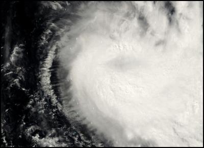
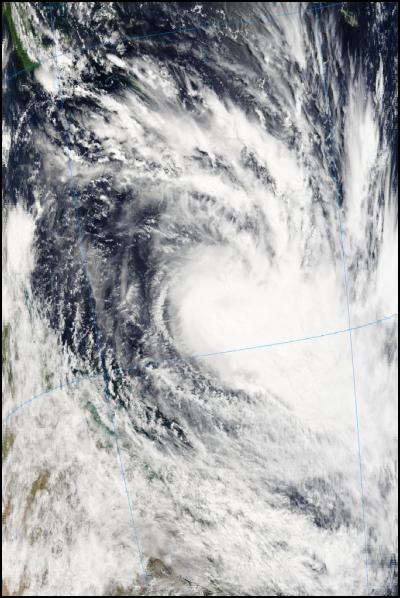
Satellite Image Of Cyclone Wati Taken Yesterday by NASA's Modis Satellite
Below you can see the latest predictions from the NOAA GFS Supercomputer Model on what will happen when the remains of Cyclone Wati hits the North Island on Monday.
NOAA SUPERCOMPUTER FORECAST SHOWING THE REMNANTS OF CYCLONE WATI HITTING NZ ON SUNDAY NIGHT/MONDAY MORNING
The first forecast in the series below is "+ 72 Hours 18hrs 26 March UTC " which corresponds to 6am Monday March 27 NZT. Each image shows 2 milibar pressure gradients and forecast rain over a six hour period in coloured lines.
6am Monday March 27 NZT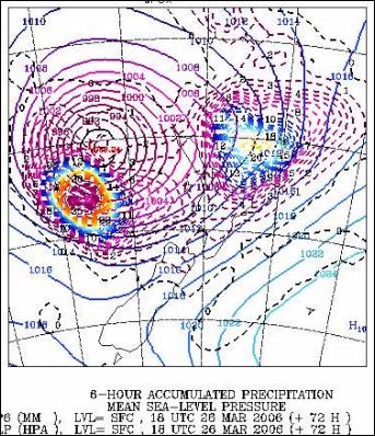
12pm Monday March 27 NZT
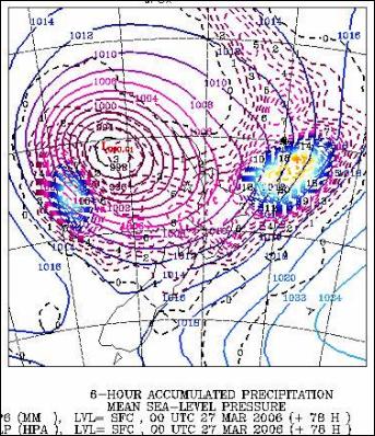
6pm Monday March 27
NZT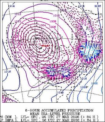
Click for big
version
12am Tuesday March 27 NZT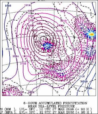
6am Tuesday March 27 NZT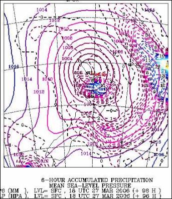
Click for big
version
12pm Tuesday March 27 NZT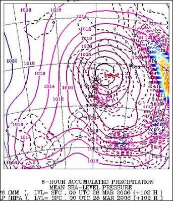
6pm Tuesday March 27
NZT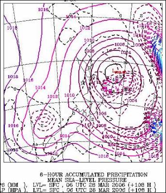
**** ENDS ****


 Jim Mikoz: Look Out Rocks … Oops Too Late
 Peter Dunne: Dunne’s Weekly - National And Labour Combine To Shut Out Greens
 Ramzy Baroud: Voting Against Genocide - How Gaza Defeated The Democratic Establishment
  Alastair Thompson: Google's Support For Democracy And Media In NZ | Part 2
 Eugene Doyle: BBC Goes Full Goebbels In Support Of Israeli Soccer Hooligans
 Binoy Kampmark: They Were There First - Election Denialism, The Democratic Way