Supercompter Weather: Plotting The Coming Storm
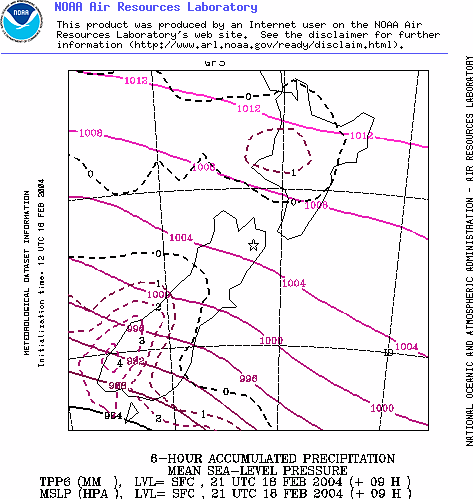
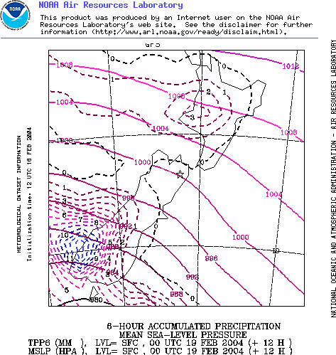
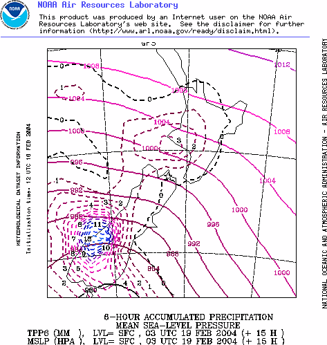
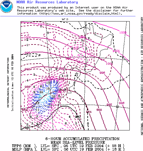
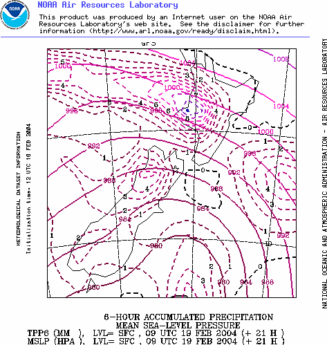
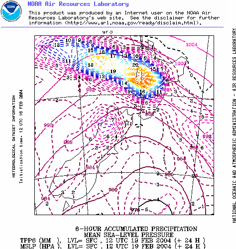
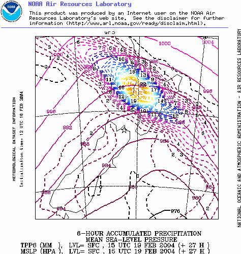
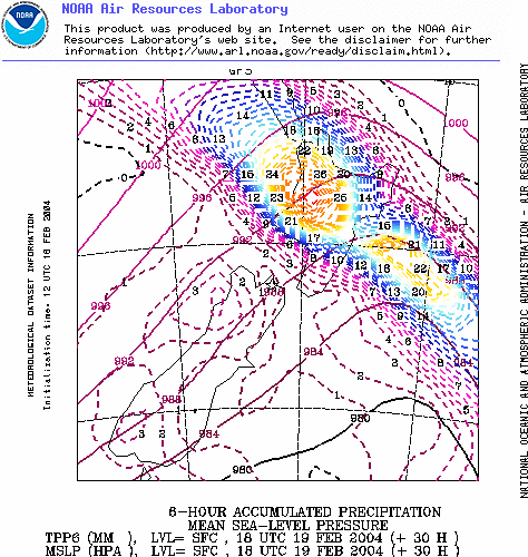
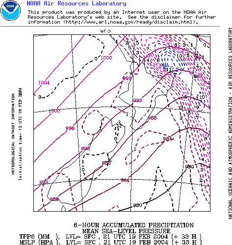
The following progression of images shows the progress of the coming front over New Zealand as plotted by the National Oceanic and Atmospheric Administration's supercomputer GFS model. The images are plotted three hourly and they show air pressure and rain patters. The rain patterns are shown in the coloured lines.
Interestingly the current official Met Service wind and rain warning " A Burst Of Heavy Rain And Strong Winds Today " shows a slightly different story about this storm. Their prediction shows brunt of the storm making landfall between Taranaki and Wellington while the images below show Taranaki, the Waikato and Auckland receiving the heaviest rainfall.
WARNING: The following is not produced by a professional meteorologist and is rather a simple dump of NOAA weather supercomputer data. The official Met Service forecast is based on several supercomputer models plus the expert knowledge of Met Service forecasters.


 Binoy Kampmark: Closed For Business - The Oddities Of Trump’s Tariffs
 Martin LeFevre - Meditations: Teach Children The Distinction Between The World And Nature
 Ramzy Baroud: Civil War On The Horizon? The Ashkenazi-Sephardic Conflict And Israel’s Future
 Gordon Campbell: On The Government’s Latest Ferries Scam
 Peter Dunne: Dunne's Weekly - While We're Breaking Up Monoliths, What About MBIE?
 Adrian Maidment: Supermarket Signs