Super Computer Weather: Isabel Targets DC & NYC
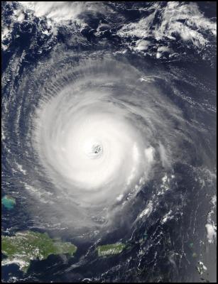
Click Image For Big Version
2003/257 - 09/14 at 14 :45 UTC - Satellite: Terra
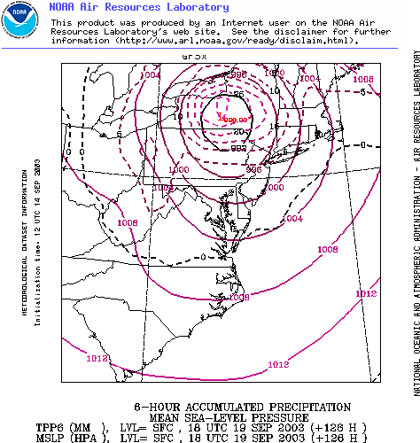
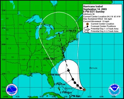
Two new forecast paths for Hurricane Isabel show the storm crossing directly over either Washington DC or New York City on Thursday. Compared with forecasts run on Saturday 13th NZT, today's forecasts show the Hurricane arriving earlier (moving faster) and the track running further West, now clearly crossing the Eastern Seaboard coast. Please note: Hurricane paths are inherently volatile and so the track of the hurricane could still vary considerably. The National Hurricane Center is now predicting landfall in Chesapeake Bay, but leaves open the possibility of a landfall anywhere from South Carolina to Massachusetts.
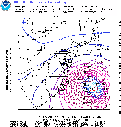
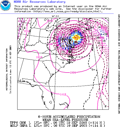
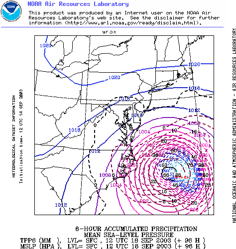
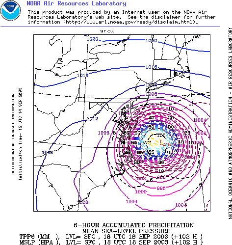
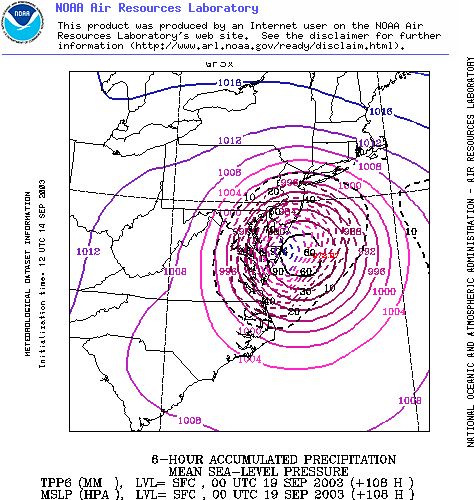
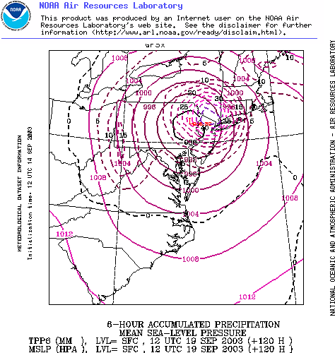
The latest NOAA forecasts at the bottom of this page, which show a New York landfall indicate well over 100mm of rain can be expected over a wide area.
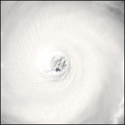
Click Image For Big Version
2003/257 - 09/14 at 14 :45 UTC - Satellite: Terra
Latest National
Hurricane Center Forecast Path.
- Directly Over Washington DC
Latest NOAA MRF
Super Computer Forecast Path
- Directly Over New York
NOTE: Each picture shows rainfall and isobars. Each forecast image shows rainfall forecast over a six hour period.
Click for bigger
version
WIND
SPEED MAP


 Richard S. Ehrlich: Cyber-Spying 'From Lhasa To London' & Tibet Flexing
 Gordon Campbell: On Aussie Election Aftershocks And Life Lessons
 Martin LeFevre - Meditations: Regarding Popes, Dopes And Hopes
 Binoy Kampmark: Fantasy And Exploitation | The US-Ukraine Minerals Deal
 Gordon Campbell: On The Aussie Election Finale
 Martin LeFevre - Meditations: The Enlightenment Is Dead; What Is True Enlightenment?