 Scoop has an Ethical Paywall


Scoop Images: Kuwait And Iraq Satellite Images
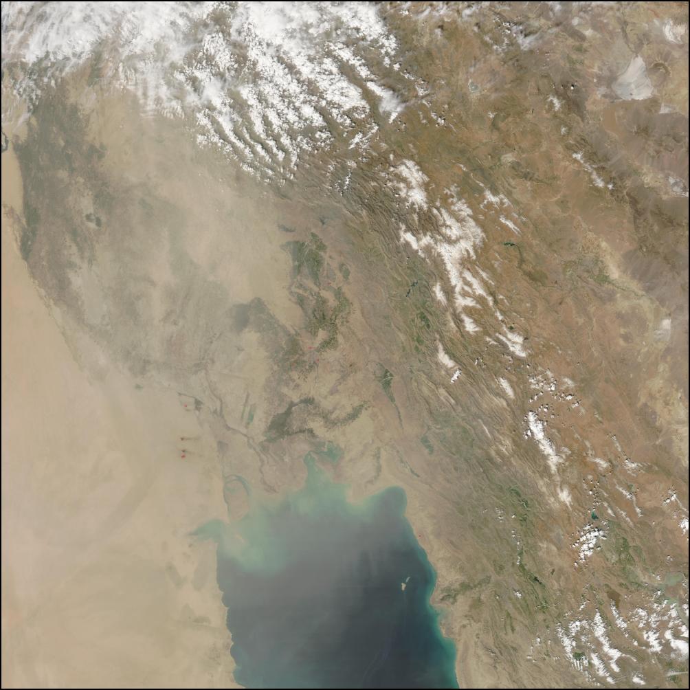
Image of Kuwait and Iraq taken today by the NOAA Modis satellite imagery programme. Each image below zooms in closer on the head of the Gulf, and a larger version of each image can be viewed by clicking on the images. Scoop will post follow up images from the next satellite pass which ought to show any more oil wells that have been set on fire. The final image in this series appears to show that at least three oil wells are already on fire.

CLICK FOR BIG VERSION
LOCATION MAP SHOWING WHERE KUWAIT IS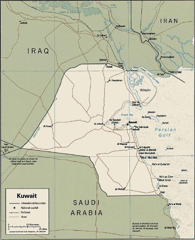
CLICK FOR BIG
VERSION
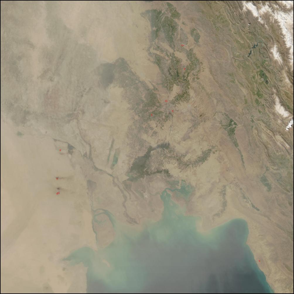
NOTE: This final image appears to show large
fires burning in an area near the Iraqi border. The presence
of fire is alerted by the red squares, and the plumes of
black smoke. 
CLICK FOR BIG
VERSION
Advertisement - scroll to continue reading
 Gordon Campbell: On Why Leakers Are Essential To The Public Good
 Ramzy Baroud: Global Backlash - How The World Could Shift Israel's Gaza Strategy
 DC Harding: In The Spirit Of Natural Justice
 Martin LeFevre - Meditations: Animal Encounters During Meditative States
 Ian Powell: Gisborne Hospital Senior Doctors Strike Highlights Important Health System Issues
 Keith Rankin: Who, Neither Politician Nor Monarch, Executed 100,000 Civilians In A Single Night?