 Scoop has an Ethical Paywall


Scoop Images: Canberra’s Ring Of Fire From Space
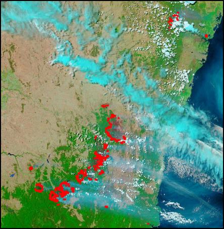
In the images below of fires on the East Coast of Australia in Victoria and New South Wales were taken on the 21st UTC. The fire front is roughly 300km long. Canberra can be located roughly at the center of the C shaped fire formation in the center of the image above. All images come from NASA’s MODIS satellite.
CLICK FOR BIG VERSION
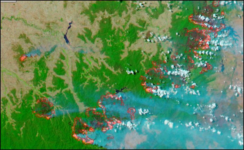
Close Up Of Victorian Fires (False Colour)
CLICK FOR BIG
VERSION
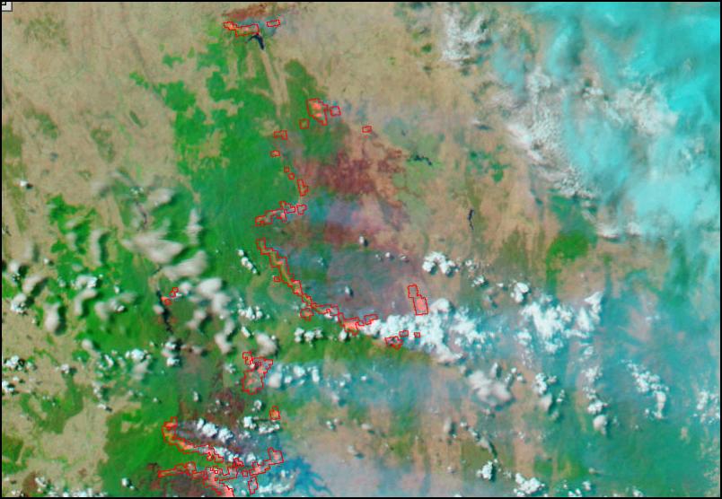
Close Up of Canberra Fires (False Colour)
CLICK FOR BIG
VERSION
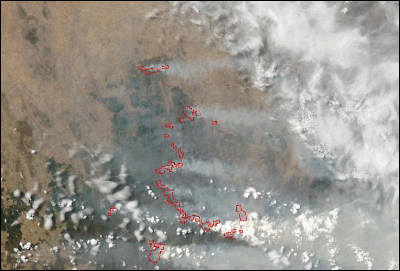
Close Up of Canberra Fires (True
Colour)
Advertisement - scroll to continue reading
 Richard S. Ehrlich: Deadly Border Feud Between Thailand & Cambodia
 Gordon Campbell: On Free Speech And Anti-Semitism
 Ian Powell: The Disgrace Of The Hospice Care Funding Scandal
 Binoy Kampmark: Catching Israel Out - Gaza And The Madleen “Selfie” Protest
 Ramzy Baroud: Gaza's 'Humanitarian' Façade - A Deceptive Ploy Unravels
 Keith Rankin: Remembering New Zealand's Missing Tragedy