 Scoop has an Ethical Paywall


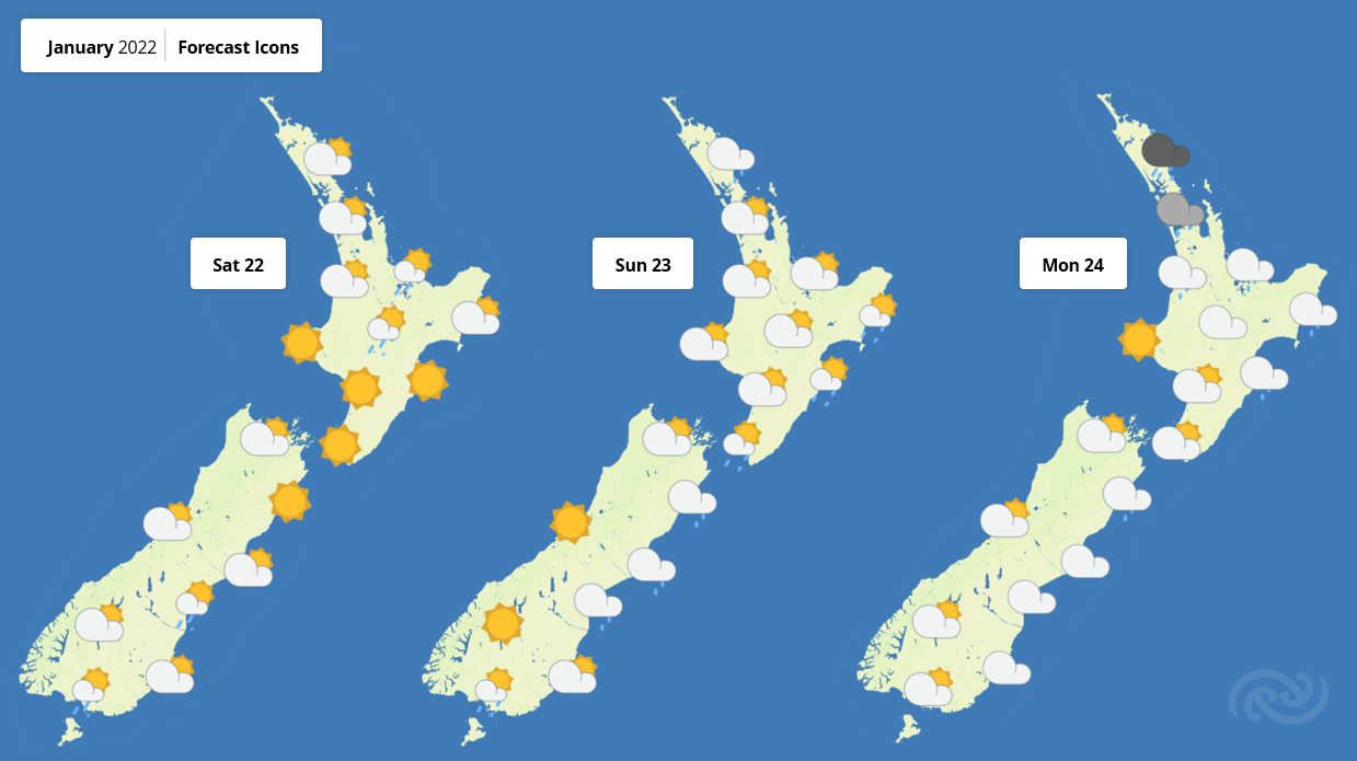
Blue Skies For Most This Weekend
MetService is forecasting another high pressure
system to sit over Aotearoa this coming weekend, bringing
dry and settled weather for most.
The cold front that swept up the South Island on Wednesday is weakening away as it tracks up the North Island today (Thursday). High pressure from the Tasman Sea will then push onto NZ, bringing a dry and sunny few days, aside from the odd shower in Southland and along the east coasts.
While maximum temperatures for most South Island spots have been left in the teens today in the wake of the cold front, temperatures around the country over the coming days are expected to hover around average for late January.
“It’s shaping up to be a great Wellington Anniversary weekend to spend some time outdoors in the lower North Island,” remarks MetService meteorologist Dan Corrigan. “Aside from one or two showers on Sunday, it looks like you can’t beat Wellington on a good Anniversary weekend.”
However, a change is on the horizon with a low pressure system forecast to impact the North Island early next week, bringing welcome rain to the browning lawns of places that have seen little to no rain this year. This system is bringing with it warm air from the tropics laden with moisture, excellent for rain making.
 Gordon Campbell: On What’s Wrong With The Treaty Principles Bill
 Mana Mokopuna: Children And Young People Share Vital Insights On Healing From Family Violence And Sexual Violence In New Report
 NZ Government: PM Marks One Year In Government
 Helen Clark Foundation: Helen Clark Foundation Calls For Political Action To Reduce The Prevalence Of Junk Food And Improve Health Outcomes
 Justice Committee: Further Decisions About Submissions Process For The Principles Of The Treaty Of Waitangi Bill
 Infrastructure New Zealand: Single Agency Needed To Coordinate Climate Adaptation And Recovery
 Free Speech Union: Fair Digital News Bargaining Bill Likely To Restrict Access To Information, Polling Shows Most Oppose