 Scoop has an Ethical Paywall


Council Hui Lays Groundwork For Modelling Aquifer Changes
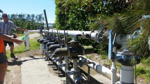
Members of Gisborne District Council’s Strategy and Science team spent Thursday morning at a workshop discussing freshwater issues with Councillors and iwi partners. The workshop focused on development of a groundwater model for the Poverty Bay Flats, which uses computer simulations to predict long-term changes in aquifer levels. This allows scientists to run different management scenarios. The findings will be used by Council and iwi to help inform decision-making on the most effective ways to manage this valuable resource and give effect to Te Mana o te Wai.
In 2019, Council commissioned GNS Science to review information collected on groundwater in the Makauri and Matokitoki Gravel aquifers in the Poverty Bay flats. This review assessed the quality and quantity, or elevation, of water in the two aquifers.
They concluded that between 2012-2017, the elevation level in most wells (44 per cent) did not significantly change. Where changes could be detected, most were decreasing in elevation. A small number of wells saw an increase in aquifer level. This is not unexpected given the Managed Aquifer Recharge trial which partially replenished the aquifer using filtered river water.
While groundwater levels fluctuate in the short-term, GNS Science found that the median elevation between 2012-2017 was consistently lower than the median elevation between 1994-2015.
“The model will improve our ability to make good management decisions for the benefit of the whole community,” says Joanna Noble, Chief of Strategy and Science. “Previous studies have shown groundwater elevations in our aquifers are in a long-term decline. We know we need to improve management of this precious resource. Groundwater model is an exciting opportunity to test the most effective water-management scenarios.”
This morning’s hui was an important step toward meaningful Council and iwi partnership in the future of water management.
 Gordon Campbell: On The Aussie Election Finale
 Greenpeace: Greenpeace Calls On Luxon To Show Leadership On Dairy Pollution As Canterbury Floods Highlight Growing Climate Crisis
 UnionAID: Fiji Union Leader Visiting NZ Highlighting Struggle Of Garment Workers
 Hokotehi Moriori Trust: Historic Translocation Of Hakoakoa Marks New Chapter In Moriori Conservation Leadership
 Department Of Internal Affairs: Government Chief Digital Officer Issues Standard To Protect Government-Held Personal Information
 Te Pāti Māori: Keep The Window Open- UCOL Must Stay
 Unions Otago: May Day Workers' Hui